 |
Biodiversity is both life itself and life-giving, providing us with food, medicine, clothing, construction materials, fertile land, clean water and air, a stable climate, and spiritual respite from an industrial world. Human civilizations evolved by consuming the products and processes of Earth’s biodiversity. Even in the 21 st century, we remain highly dependent upon biodiversity. Each year human societies derive benefits valued at trillions of dollars from the diversity of species and their interactions. This fact is still poorly understood by the general public, global economic models, and policy makers.
Biodiversity is being rapidly eroded by the natural resource demands and activities of increasing human populations. As we grow and consume, we clear more land, harvest more plants and animals, and need more of everything – more wood, more cotton, more rice, more water. We use more energy and transport more people and goods to every corner of the planet. We deliver more pollution and waste into our air, waterways and landfills. These activities tend to destroy or degrade biodiversity, reducing the number of species, potentially useful genes, and key service s provided by ecosystems.
Biodiversity is a natural resource. Like most resources, if properly managed, our living planet can produce a continuous flow of products and services for today and future generations. The wise management of any asset requires information upon which sensible decisions are based. To manage biodiversity, we need basic knowledge about species and ecosystems. For a given species, we want to know its taxonomic status, its geographic distribution and abundance, its reproductive biology, or the genetic diversity among its populations. The more we know, the more informed steps we can take to ensure the persistence of a biological resource.
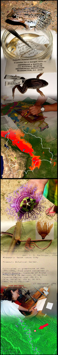
Natural history museums are the world’s biodiversity libraries, the result of several hundred years of natural history research collecting and describing life’s diversity. The specimen collections maintained by these museums contain the most fundamental of all information about biodiversity: what occurs where. Today, advances in satellite imagery, computer databasing, and spatial analysis software allow us to apply the information stored in natural history museums in important new ways. By integrating museum biodiversity data with modern geographic tools, natural history museums have a novel approach for contributing to the informed management of our planet’s biological resources. At CBRI, these efforts can be summarized as Biodiversity Mapping.
Biodiversity mapping is the crucial enabling step for addressing basic questions, such as:
 What are the known occurrences of a given species of interest? What are the known occurrences of a given species of interest?
How many endangered species occur in given region?
What is the overlap between species distributions and protected areas?
How have species ranges changed over industrial times?
In addition to the work of mapping specimen localities, CBRI places significant emphasis on predictive species distribution modeling. This relatively new research field holds exceptional promise for integrating geographical and museum biodiversity data and into powerful conservation results. To help understand and conserve biodiversity in our changing world, we can call upon these tools to answer important questions such as:
What environmental niche is predicted by the known occurrences of a given species of interest?
How are species distributions predicted to shift under alternative climate change scenarios?
What is the future distribution of a newly invasive species?
|